
The history of Singapore St John and Lazarus Island
Singapore · Southern Islands
The history of Singapore St John and Lazarus Island
From Orang Laut fishing ground to imperial ammunition dump, quarantine station, opium rehab and the last quiet anchorage south of the skyline — the full story of the two islands at the edge of Singapore.
Scroll · 1600 → today
A four-century timeline
An island paradise — and an old gravesite, a quarantine station, and a prison.
The Southern Islands are the rare corner of Singapore where the city stops. Crystal water, white sand, a cat colony, an artificial horseshoe lagoon — and underneath, a layered past that most visitors never hear about. Maps, archives and newspaper clippings disagree, anecdotes contradict each other, and a fair share of the story is genuinely lost. What’s left is still worth telling. Here is how four centuries shaped what St John and Lazarus look like today — and why the only way to truly experience them is by private yacht in Singapore.
Chapter 01 · Early discovery
Mapped, but barely touched
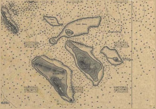
The two islands appear on European and Chinese maps from 1604, but the Orang Laut had already settled — fishing, sailing, and weaving the local folklore that still shapes the islands’ identity.
Legend tells of two deer that swam ashore from the southern coast of Singapore, parted ways, and gave their names to the islands: Pulau Sakijang Bendera and Pulau Sakijang Pelepah — the islands of “One Barking Deer & Flags” and “One Barking Deer & Palms.”
Chapter 02 · Imperial conquest
28 January 1819 — Raffles arrives
When Sir Stamford Raffles landed and turned Singapore into a strategic port, St John’s was repurposed almost immediately as an ammunition dump.
The westernised names probably belong to this era too. Two theories survive: Raffles may have honoured two missionaries travelling with him, or the British simply misheard “Sekijang” as “St John” from maps drafted before they ever set foot ashore.
Chapter 03 · Quarantine island
The world’s busiest quarantine station
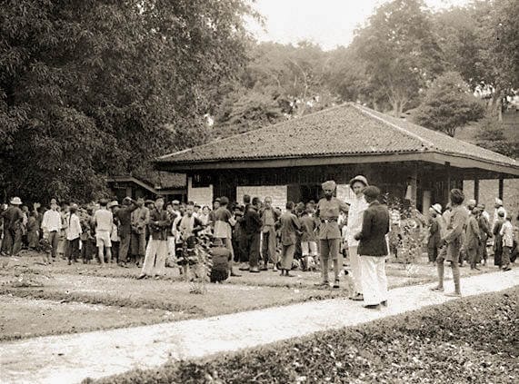
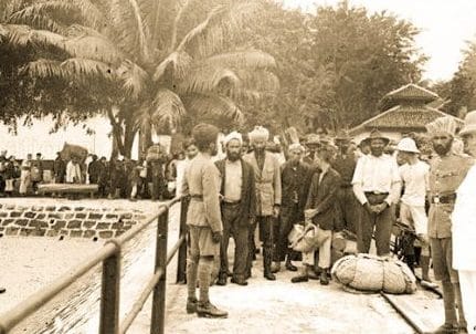
As Singapore grew, so did the diseases passing through its port. The St John’s Quarantine Facility opened to hold immigrants and travellers arriving by sea — and quickly became one of the largest stations in the world, with over 6,000 people on the island at peak.
With volume came mortality. Lazarus, just across the water, was designated as the burial ground.
Chapter 04 · The fires
Two fires erase the archive
Two fires — in 1902 and 1914 — wiped out the cemetery on Lazarus and most of the abandoned quarantine buildings on St John’s. Newspaper reports from the time also mention prison sheds briefly used to house inmates. The idea was abandoned after the first escape.
Today only a handful of derelict structures and a few rusted barbed-wire fences remain, swallowed by the vegetation that grew back over everything.
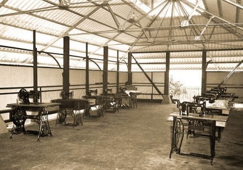
Chapter 05 · Opium rehabilitation
From quarantine to recovery
Singapore had been a key node in the opium trade, and by the end of WWII the city counted more than 16,000 registered addicts. The government banned opium and the smoking tools in 1945.
A decade later, St John’s reopened — this time as a rehabilitation centre, with therapy and skills training instead of confinement.
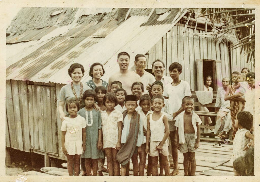
Chapter 06 · Island life
44 houses, 400 people, one television set
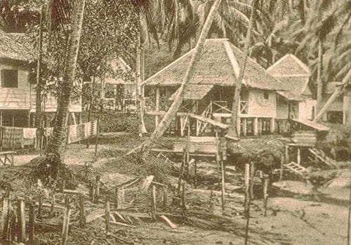
The first photographs of life on the islands date from the 1960s — wooden cabins on stilts, zinc roofs, and two small schools whose pupils kept breaking Singapore’s national swimming records.
The Lazarus Girls, local guides during this period, described an island of “44 houses and 400 people.” That community was relocated to mainland Singapore in the late 1970s.
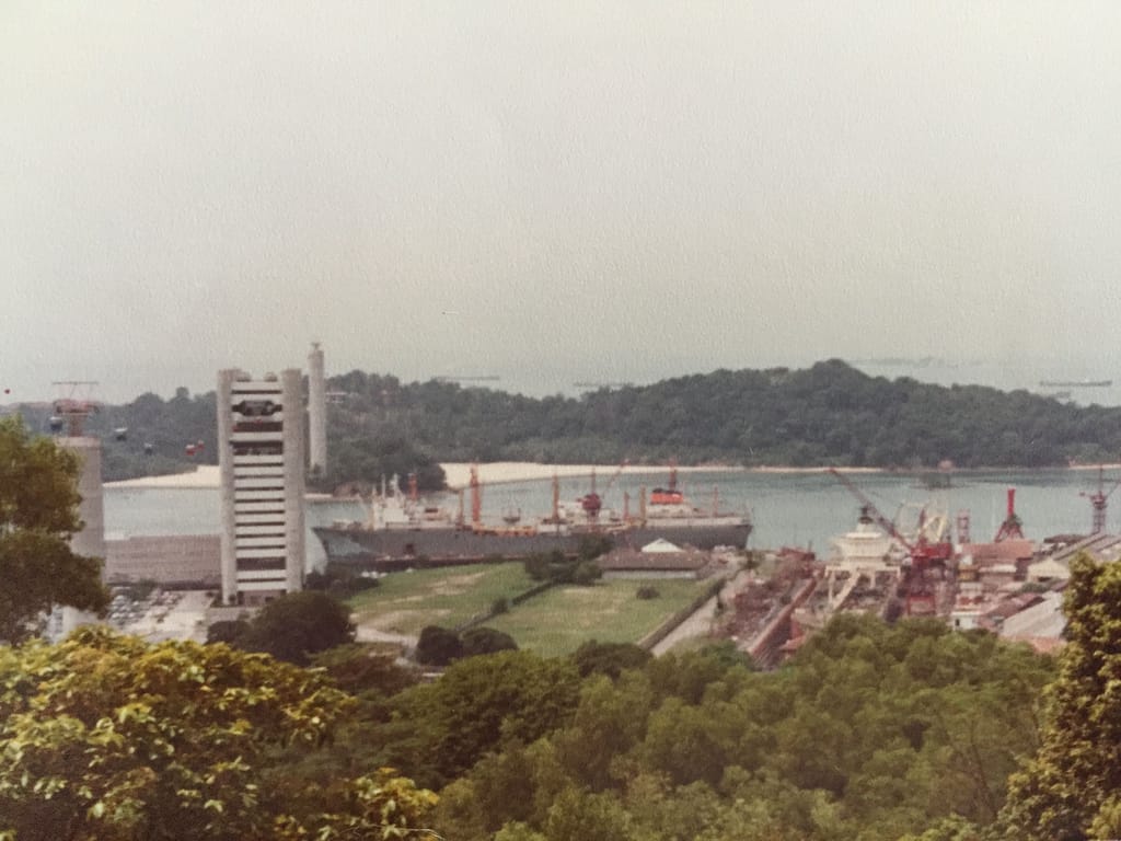
Chapter 07 · The next Sentosa
A planned beach resort
As global tourism boomed, Singapore eyed Lazarus and St John’s as the next Sentosa. The Sentosa Development Corporation took over the Southern Islands and put roughly $11 million into land reclamation.
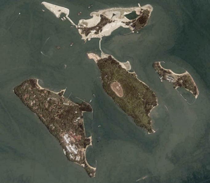
Much of it went into connecting Lazarus to two smaller neighbouring islands at its northern tip.
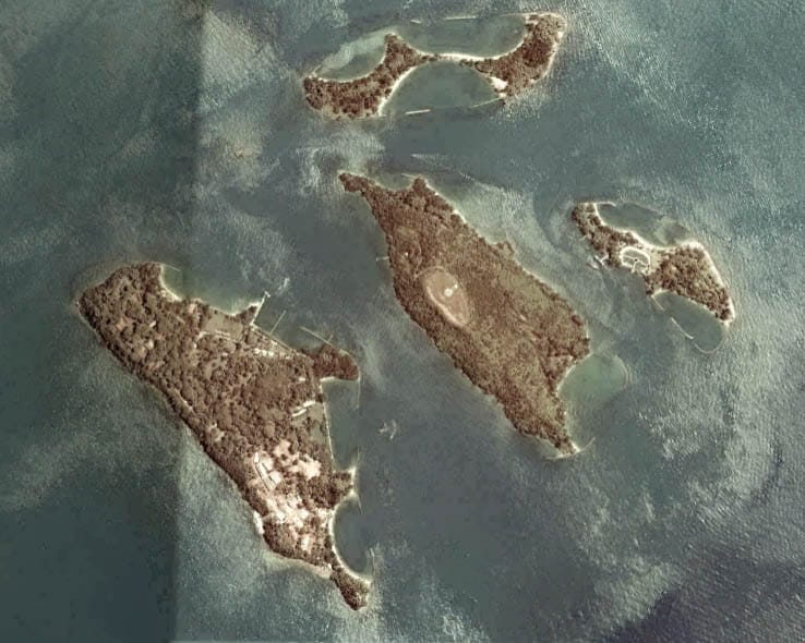
Chapter 08 · Treasure Island
The resort that never opened
Lazarus was rebranded “Treasure Island” and pitched to investors. More than thirty development concepts were proposed in the years that followed.
None of them was ever built. The land sat — and still sits — as it was left.
Chapter 09 · The quiet redesign
A causeway, a lagoon, a careful return
Through the early 2000s, Singapore reshaped the islands as a discreet day retreat. A causeway was built between St John’s and Lazarus — fifteen minutes on foot. The horseshoe Lazarus Lagoon was carved out of the coastline as an entirely artificial beach.
Chalets and basic housing were added on St John’s. On

This post provides clear idea in favor of the new people of blogging, that really how to do
blogging.